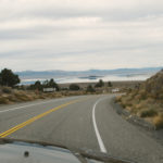
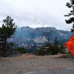
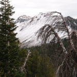
We headed south on US 395 and turned onto the Mammoth Scenic Loop so I could show Dean places where I had camped and backpacked. Unfortunately, due to controlled burning, we were unable to visit Devils Postpile National Monument, Soda Springs, or Red’s Meadows. We drove down the one lane windy road into the valley and stopped at the Agnew Meadows trailhead to Shadow Lake, one of my parents’ favorite hikes. The views at Minaret Vista, above Red’s Meadows Valley were majestic despite the smoke.
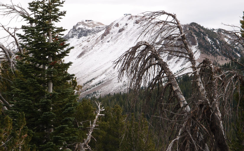
In hopes of bountiful snow, workers were preparing Mammoth Mountain for ski season. The branches on the stunted trees beside the road were all bent back from the winter wall of plowed snow. The altitude at the base of the ski area is 9,000 feet and there was some snow on the slopes.
We stopped and walked around the Earthquake Fault crack in the earth, and of course it was not as deep as I remembered.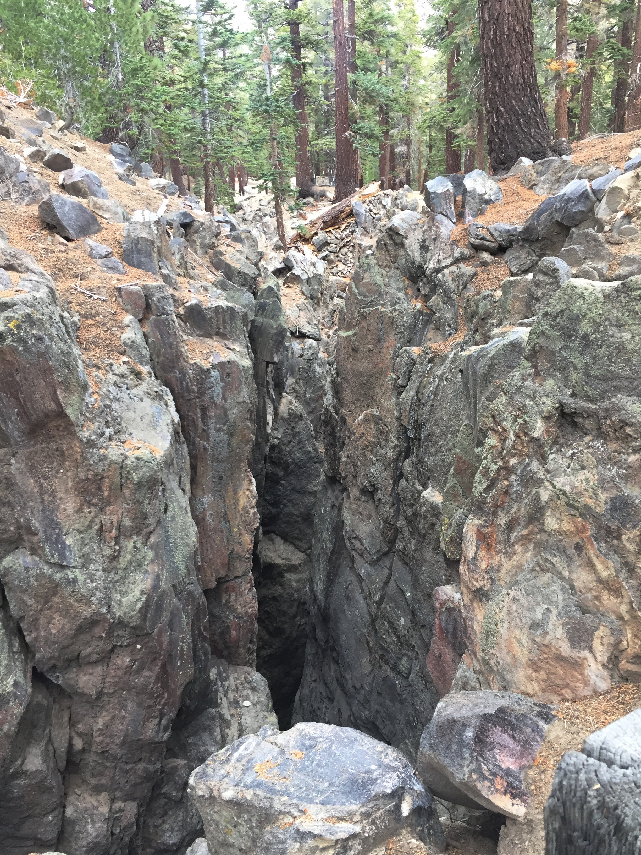
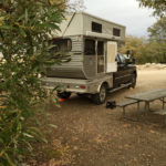
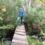
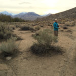
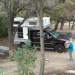
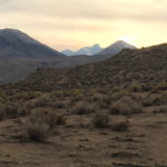
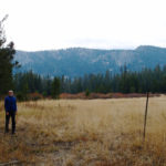
Back on US 395 we drove south to Big Pine and turned west to Baker Creek Campground. Like most campgrounds open this late in the year, it had vault toilets but no potable water. A bridge over the creek behind our campsite gave us access to open rangeland with a nice view of the backlit Sierras.